
File:Locatie Middellandse Zee.PNG
Size of this preview: 800 × 489 pixels. Other resolutions: 320 × 195 pixels | 640 × 391 pixels | 902 × 551 pixels.
Original file (902 × 551 pixels, file size: 33 KB, MIME type: image/png)
| This is a file from the Wikimedia Commons. Information from its description page there is shown below. Commons is a freely licensed media file repository. You can help. |
| Description |
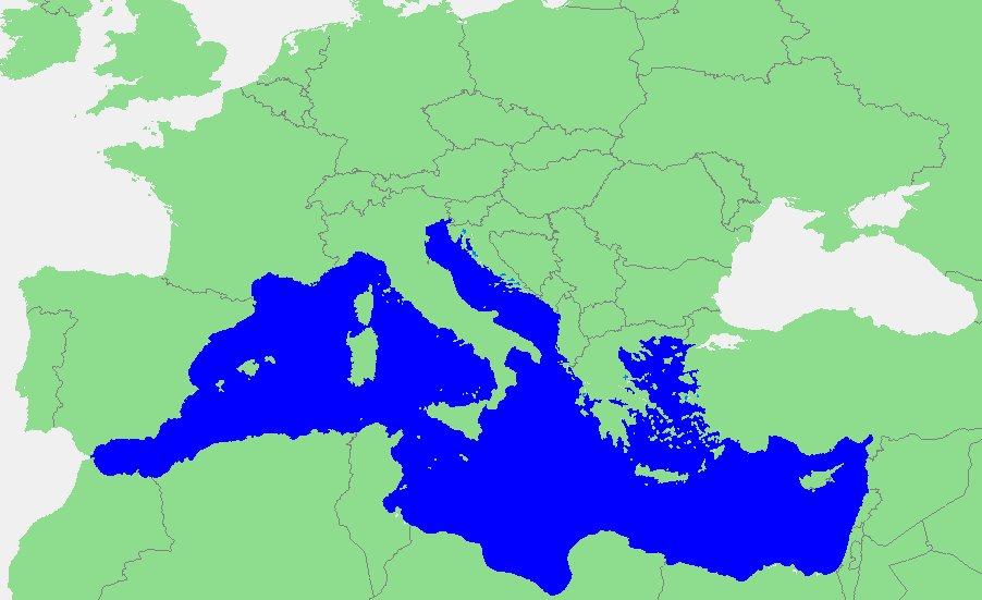
Nederlands: Locatie Middellandse Zee
中文:地中海地图 |
||||
| Source | own work based on PD map | ||||
| Author | edited by M.Minderhoud | ||||
| Permission (Reusing this file) |
|
File history
Click on a date/time to view the file as it appeared at that time.
| Date/Time | Thumbnail | Dimensions | User | Comment | |
|---|---|---|---|---|---|
| current | 18:21, 12 September 2006 | | 902 × 551 (33 KB) | Michiel1972 | {{Information |Description=In dutch: {{subst:PAGENAME}} |Source= own work based on PD map |Date= |Author= edited by M.Minderhoud |Permission= {{PD-Demis}} |other_versions= }} category:Locator maps of seas |
File usage
The following pages on the English Wikipedia use this file (pages on other projects are not listed):
Global file usage
The following other wikis use this file:
- Usage on ang.wikipedia.org
- Usage on an.wikipedia.org
- Usage on avk.wikipedia.org
- Usage on awa.wikipedia.org
- Usage on bat-smg.wikipedia.org
- Usage on be-tarask.wikipedia.org
- Usage on bm.wikipedia.org
- Usage on ca.wikipedia.org
- Usage on cbk-zam.wikipedia.org
- Usage on cdo.wikipedia.org
- Usage on ceb.wikipedia.org
- Usage on crh.wikipedia.org
- Usage on csb.wikipedia.org
- Usage on de.wikipedia.org
- Usage on el.wikipedia.org
- Usage on eo.wikipedia.org
- Usage on es.wikipedia.org
- Usage on et.wikipedia.org
- Usage on fa.wikipedia.org
- Usage on fiu-vro.wikipedia.org
- Usage on fr.wikipedia.org
View more global usage of this file.